Morgan Albrecht · 26 September 2026
Microclimates Shaping Age-Old Farming Methods Around the Wilodale Region
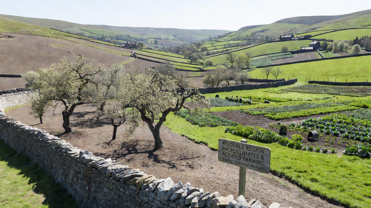
Topography creates distinct pockets of temperature, humidity, and wind within short distances across the Wilodale region, and these microclimates have directed traditional farming choices for generations. Farmers select crop varieties and planting times based on subtle differences in slope orientation and valley depth that produce cooler mornings on one hillside while adjacent slopes warm faster under direct afternoon sun. Historical records indicate that communities mapped these patterns through repeated observation rather than written instruments, and they passed the knowledge through seasonal rituals and family teachings that aligned seed selection with expected frost lines.
Defining Microclimates in Local Terrain
Researchers have documented temperature gradients of up to five degrees Celsius between north-facing and south-facing slopes within the same valley system, and this variation alters growing seasons by weeks. Soil moisture levels also differ sharply where tree lines block prevailing winds or where depressions collect cold air overnight. Data from weather stations installed at multiple elevations show that these conditions persist year after year, creating reliable niches for specific plants even when regional forecasts predict uniform weather.
Traditional Techniques Rooted in Microclimate Knowledge
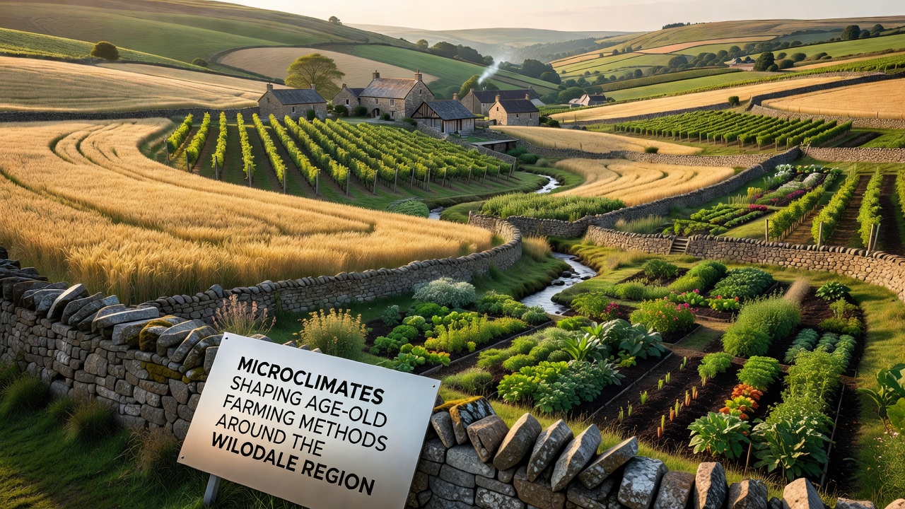
Age-old methods include terracing that follows contour lines to capture morning dew and reduce runoff during brief summer showers, and these terraces often face slightly different directions to maximize sun exposure on frost-sensitive crops. Irrigation channels built from local stone divert water from higher springs only to plots where afternoon shade prevents rapid evaporation, and farmers rotate fields according to which areas retain moisture longest after spring rains. Observers note that livestock grazing schedules once followed similar logic, with animals moved to warmer micro-sites during cooler months to protect pastures from over-trampling in damp lowlands.
One documented practice involves interplanting taller grains on wind-exposed ridges while sowing root vegetables in sheltered depressions, and this combination reduces wind damage while allowing the taller crops to provide partial shade during peak heat. Records kept by regional agricultural cooperatives since the early twentieth century track yield differences that correlate directly with these placement decisions, and the patterns remain consistent across multiple decades of data.
Evidence from Field Studies and Recent Monitoring
University researchers completed multi-year surveys of soil temperature and humidity across fifty sites in the region, and the resulting maps match oral histories describing where certain fruit trees could survive winter extremes. A 2024 report compiled by the Australian Bureau of Agricultural and Resource Economics and Sciences examined similar topographic effects in comparable valley systems and confirmed that elevation-driven microclimates influence both planting density and harvest timing. The study further noted that traditional field layouts often outperform uniform modern grids when measured against local climate variability.
In September 2026, automated sensors deployed by regional extension services recorded an unusually sharp frost boundary at 420 meters elevation that spared lower orchards while damaging higher vineyards, and farmers responded by advancing harvest dates on exposed slopes while delaying those in protected hollows. These real-time adjustments reflect centuries-old decision frameworks updated with current measurements rather than replaced by them.
Crop Selection and Seasonal Adjustments
Local varieties of barley and millet continue to dominate cooler north-facing plots because they mature before late-season frosts arrive, whereas heat-tolerant legumes occupy south-facing terraces that accumulate more growing degree days. Beekeepers position hives along transitional zones where flowering periods stagger due to microclimate differences, and this placement extends nectar availability without requiring supplemental feeding. Studies conducted by the European Commission's Joint Research Centre on analogous Mediterranean hill farms reached similar conclusions about staggered planting as a resilience strategy. Their findings align with Wilodale observations that diversified placement within small areas buffers against single-weather events.
Conclusion
Long-term records demonstrate that microclimates have shaped field boundaries, irrigation routes, and crop mixes throughout the Wilodale region for centuries, and contemporary monitoring confirms these patterns continue to guide practical decisions. Communities maintain the underlying knowledge through ongoing observation and adaptation rather than rigid tradition, and this approach integrates new sensor data with established spatial understanding. The result is a farming system that responds to fine-scale environmental variation while preserving methods refined over generations.